|
Remarks to the geological origin of
the hills "Eight Bells" at the southern Gilf Kebir (Egypt)
Norbert Brügge, Germany
Dipl.Geol.
Update
10.05.2017
|
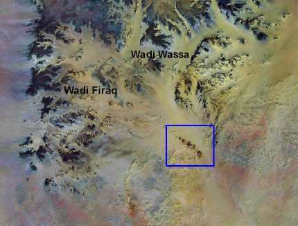
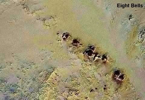
The "Eihgt Bells" hills at the
southern edge of Gilf Kebir plateau
|
Detail of Landsat satellite
|
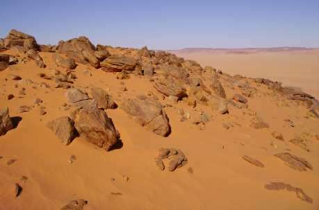
The conical high hills,
named "Eight Bells", are located directly southern of the Gilf Kebir plateau.
The geographical position is approximately 22� 47' N and 26� 16' E.
It is remarkable, that all eight
hills are strung on a line. Up to now was not known, whether it is a particularity.
However in images of the satellite "Landsat" we can see crater-shaped structures
in the northwestern extension of the hills chain.
During a visit of the hills in 2006 the author has found now references for
volcano- tectonic
processes. The hills chain is composed
of basal fused Paleozoic
sandstone on a fault. At different
places large blocks represent the methamorhic
basement.
Basaltic plugs or a granitic intrusion were not found however. It could exist
however a connection with the crater-shaped structures in the northwestern
direction. Therefore magmatic processes are postulated as origin.
It have a connection with the wide-spread intrusive magmatism in the region,
that has produced numerous craters and dykes.. (Clayton Craters, Gilf Kebir
Crater Field
etc.)
|
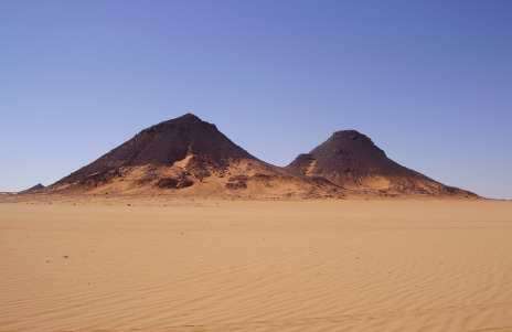
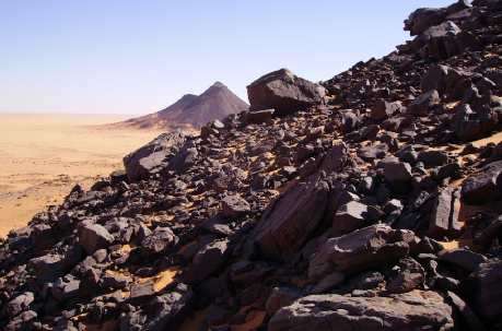
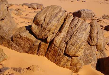
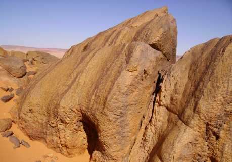
Two of eight hills
|
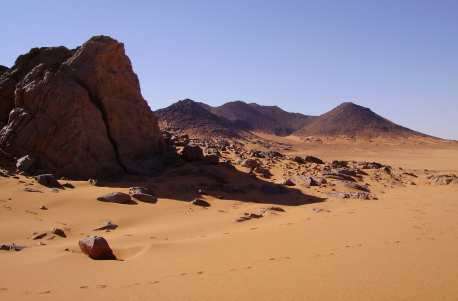
Other hills
|
|
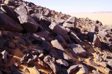
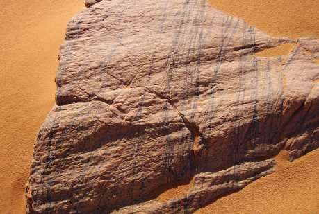
Blocks of red Paleozoic sandstone
|
dito
|
|
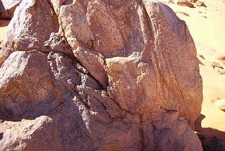
Field with basement rocks
|

Sample 1 of Basement rocks
|
|
Sample 2 of basement rocks
|
Sample 3 of basement rocks
|
|
Sample 4 of basement rocks
|
Sample 5 of basement rocks
|
|